Q&A - Ask away! I'll answer Pt. 3
This is a continuation of the questions submitted between January 24th and 29th. Since I was unable to answer all the questions in one post, I split them between two.
Thank you again for submitting your questions.
As a reminder, you can submit questions in the comment section of this post, or email me directly through the website contact form. Questions can also be sent through any of my social media platforms. Find me @leahwx11 on Facebook, Twitter, and Instagram. If I miss your question, keep commenting on futures posts! I want ALL your questions answered.
Question - Spring rain for every thunder in January?
This is a new one for me! I have never heard this weather folklore before.
The question to ask, is there any truth to weather folklore? The clever sayings have been around for centuries. They are a means by which those without meteorological instruments predict the weather. While some weather folklore has scientific backing, others are just for fun.

Fair warning, do not plan your day, week, or snow expectations depending on if there is a ring around the sun, a red sky at night, or a wooly worm with a thick brown stripe.
Because this is a great question, I will dedicate an entire blog post to it in the coming weeks. Here is a teaser: red skies at night, sailors delight, red skies in morning sailors take warning. As the sun sets, the rays shine through a thicker part of the atmosphere. Upon nearing the horizon, the light reflects off of more dust and air particles. These particles are responsible for scattering the blue light, and all we see are reds, oranges, pinks, and yellows. Because the sunsets to the west, if clearer skies are found out west expect calmer weather for the next day. However, this is not ALWAYS the case.
Click HERE for weather folklore for every month.
Question - Rainy pattern or a dry pattern for the spring?
Without diving too much into climate dynamics, here are my thoughts. Right now, we’re in a La Nina pattern. El Nino and La Nina are opposite phases of an oceanic-atmospheric coupling known as El Nino Southern Oscillation or ENSO. La Nina is the colder counterpart of ENSO. During a La Nina pattern, colder ocean water temperatures are present in the Equatorial Pacific. The jet stream tracks farther north during La Nina and brings warmer than average temperatures and drier weather for the southern states. La Nina conditions are forecasted to continue through early spring.

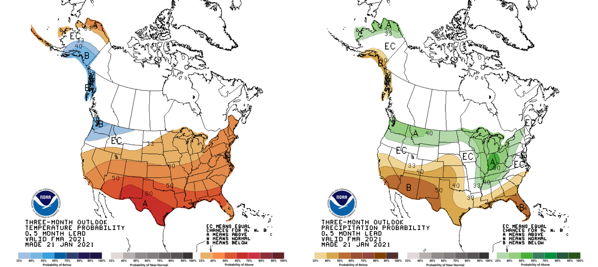
Three-month temperature and precipitation outlooks show above-average temperatures for most of the U.S. In the Ozarks, it’s forecasting average rainfall amounts. By late spring, however, models are forecasting an ENSO neutral pattern. In this case, there are other atmospheric patterns/couplings we need to look at to determine the long-range outlooks. What you can expect, at least through early spring, is the potential for above-average temperatures, with rainfall right around average for this time of year.

Question - Since the weather can change in just a few mins. Is your week-long forecast just a shot in the dark?
And similarly
When you get the weather for the week, do you have to download it or do you just predict what the weather is gonna be like for the next week? And if you do like to download it, where do you get it from?
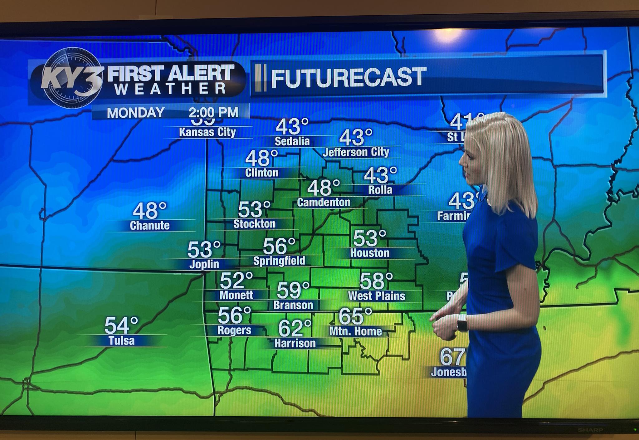
Long-range forecasts are not a shot in the dark, and we don’t download data. We forecast.
Forecasting is a scientific process based on data as well as our knowledge of the atmosphere. Forecasts today are the most accurate they have ever been. With new data and technology coming out, the forecast accuracy is increasing. Meteorologists use model data that simulates future atmospheric conditions based on current and past weather patterns.
We have long-range models such as the ECMWF or the GFS which shows use the weather several weeks out. We also have short-range models like the HRRR and NAM that forecasts several hours to three days out. We don’t strictly rely on the models; they are only a guide. A model is just a computer-generated forecast, and while they improve every day, they don’t compare to meteorologists and our scientific reasoning.
Forecasts up to three days out is the most accurate. We can predict the temperatures within a degree or two. Forecast accuracy decreases around day five. Keep in mind again, forecasting today is the MOST accurate it’s ever been.
Forecast accuracy changes for temperatures and precipitation. Forecasting precipitation type on Day 7 is extremely difficult because the system bringing the rain/snow may not have even formed yet, or may not have even moved into the U.S. from the Pacific Ocean. Additionally, day to day changes will influence future weather patterns. So yes, there will be MANY changes as the week progresses.

Here's what I look at when forecasting. First, I start with current conditions. You cannot understand what’s to come unless you know what is happening right now. I will also look at reanalysis data and figure out why the changes occurred.
After analyzing current conditions, the forecasting begins. Starting with the upper levels of the atmosphere I determine where the troughs, ridges, and areas of ascent and descent are located. I identify the jet streaks and how they develop over time. After getting a full view of the upper levels, I work my way down. At the mid-levels I’m analyzing how those troughs and ridges are stacked with height. I forecast mid-level warm and cold fronts. I look at instability and moisture, and how high up the moisture extends. Finally, I make my way down to the surface. I analyze the temperatures, moisture, and pressure. I look at the winds, the direction they’re coming from, and how winds change with time. I’ll also examine the instability and how it changes throughout the day. When looking at the surface levels, I forecast the fronts and how they progress. What factors may strengthen or weaken them? Will the front speed up or slow down?
Difficult, right? Forecasting gets even more complicated when it comes to severe or winter weather. There will always be uncertainty in forecasts as the atmosphere is a complex three dimensional, dynamic, and thermodynamic fluid. Meteorology is a puzzle, but I will always do my best to put the pieces together.

0 Comments Add a Comment?